| ||||||||||||||||
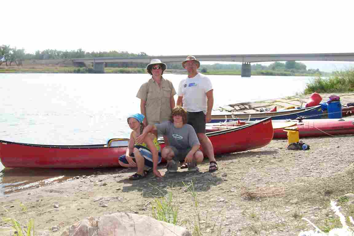
Missouri River, Montana 2004What a great way to spend a holiday! Making our base in the Choteau County campground at the western edge of Fort Benton, Montana, we had a river front campsite for $5 USD per night. Don't arrive in Fort Benton after 8:00 p.m. and expect any services. People seem to take a long siesta over the lunch hour as well. Maybe these practices help to contribute to a high birth rate: the swimming pool was full of kids. The couple of extra days helped us get the information we needed to finalize our planning:
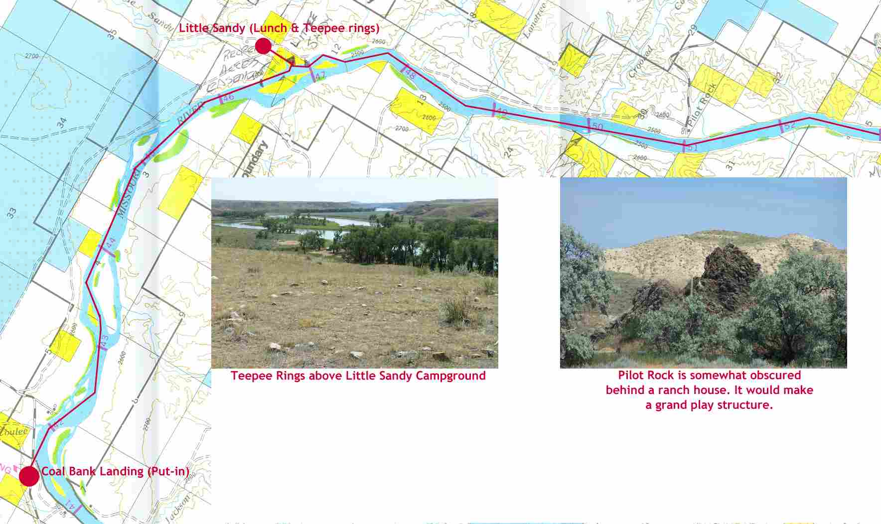
After three nights in Fort Benton, we drove to mile 41 and put in at Coal Banks Landing.
We put in about 10:00 a.m. at Coal Banks and aimed to have lunch at Little Sandy. Little Sandy was a disappointment. Althought it has a fence exclosure, more cattle seemed to be inside the campsite than outside; I wouldn't recommend this as an overnight location. Cow patties were ubiquitous but the short hike up the hill to see the teepee rings was worth the detour.
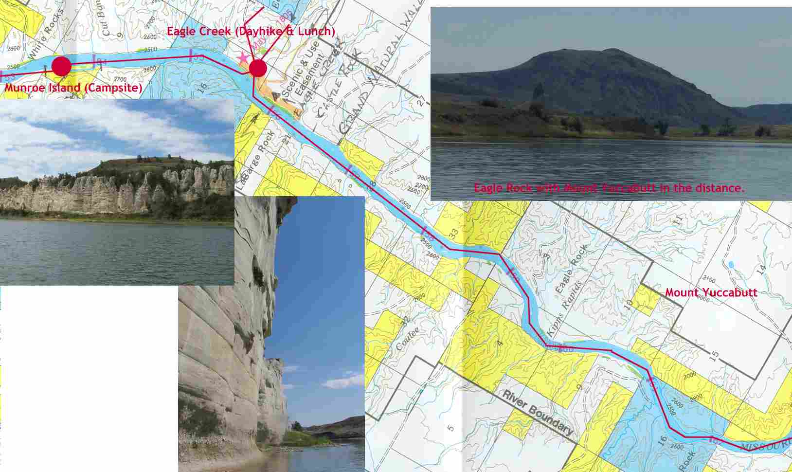
By late afternoon, we coasted by Mount Yuccabutt. Not it's real name, we picked this name during a previous trip after climbing this hill with it's commanding view of the river and countryside. For those not careful during the decent, it would be possible to impale one's buttocks on the preponderance of Yucca bushes growing on the hillside.
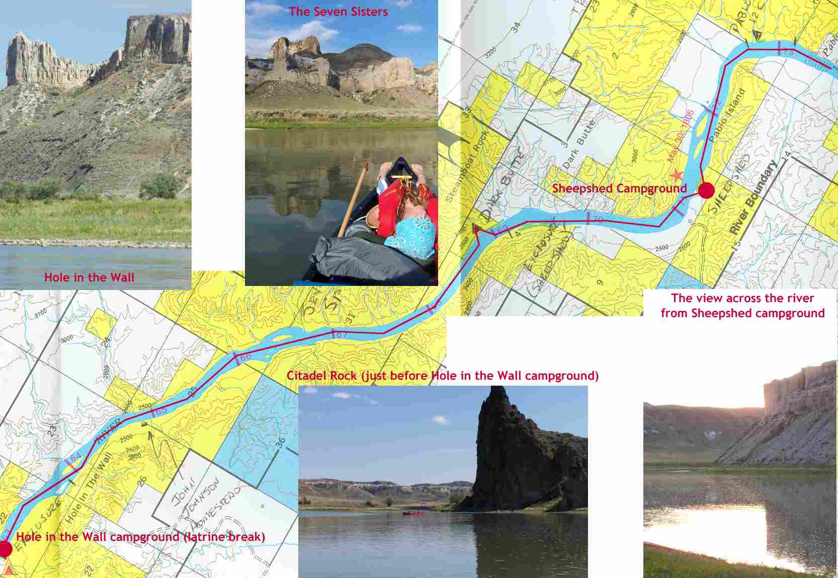
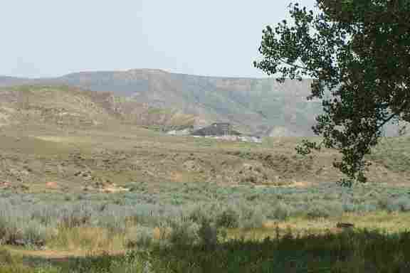
With the day moving on, the kids wanted to position themselves to get to Judith by the end of the third day. They also wanted to be close enough to get to a latrine in the morning. Hole in the Wall was too soon. Dark Butte campground had a couple from Kentucky already encamped and while we could have shared the site with them, we decided to move on. Sheepshed was the next choice. Why the Sheepshed exclosure is two miles before the campground is an anomaly to me. Maybe there's a plan to move the campsite? This is a campsite that could have latrines as it has a fairly decent road access. The panorama from Sheepshed campground is also amazing. We were too tired to do any hiking in the area, but would be a good candidate.
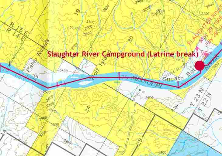
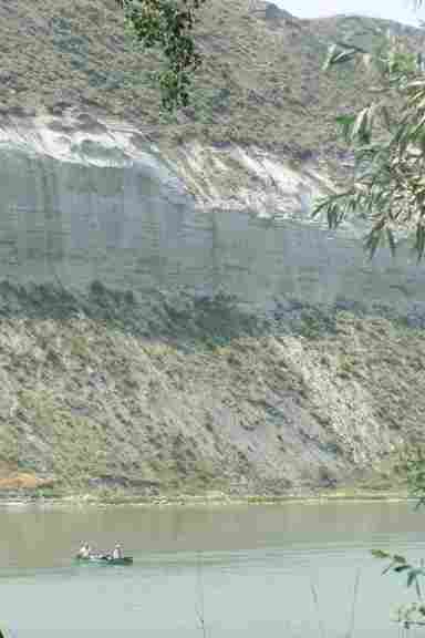
Graeme really wanted to race to Slaughter River the next morning. Although Pablo Rapids is a map feature, it is barely a Class 1 set of rapids. Like Kipps Rapids the previous day (and Deadman rapids yet to come), rapids on this stretch of river really means keeping your canoe pointed downstream and yawning uncontrollably. Slaughter River is a beautiful campground with Cottonwood trees and a very large with a strong exclosure fence. The scenery here, like on so much of this trip is larger than life. Named by Lewis and Clark after a nearby Buffalo Jump, the associated river has now been renamed "Arrow Creek." After Slaughter River, we decided to have lunch on the river and float towards Judith Landing.
The trip to Judith was mostly a float. We rafted together and one person served as lookout while the rest slept, ate, or just closed their eyes. It's been a good trip but the temperature throughout was about 95°F (~35°C); the kids were looking forward to the end. I was looking forward to a cold pop from the store at Judith.
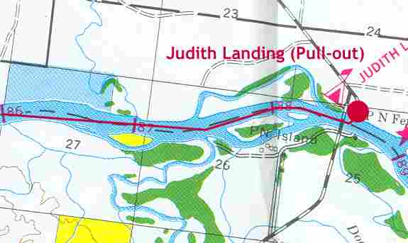
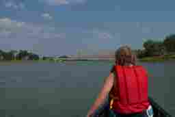
Judith landing is just past the confluence with the Judith River. It's a broad, wide valley filled with Cottonwoods merging from River right. Seeing more signs of civilization: cattle, power lines, irrigation pumps, and houses, started to peak our excitement. Rounding the bend and spotting the bridge got us pressing on to the end. We landed at Judith at about 5:00 p.m.
After loading up our van, and buying some cold pop, we headed to Lewistown for another week of travelling around Montana. Lewistown was quite unimpressive; motels were very overpriced for the quality or attractions of the town. We moved on to Billings the next day and stayed at the KOA campground the first night. It was a bad choice: almost $30 USD for a tenting site and bikers everywhere. A much better choice was the campsite at Laurel just 10 miles west of Billings. It was $10 a night and situated beside the Yellowstone River. Although local industry provided some background noise, the campsite was relatively empty and quiet. The buildings were apparently built by German POWs in World War 2. The showers were most welcome. We were having some overheating problems with our van so we left it behind and rented a car for three days in Yellowstone National Park. The Beartooth Highway through Red Lodge is a must do trip. Yellowstone was quite impressive. The 1988 fire has opened a number of exceptional vistas in the northwest corner of the park that would have been previously unavailable. The renewal of the forest has covered much of the immediate signs of the fire with a new growth of pine and wildflowers. Returning to Billings, we did some tax free shopping before driving back to Regina in a day. An honourable mention needs to be made of Larry Williams, Service Manager of The Brake Shop in Billings (406)259-8622. The work they did on the van while we were in Yellowstone was necessary yet thorough and completely affordable. They did the minimum required, didn't inflate the work order and dealt with us in a friendly and courteous manner. For anyone passing through Billings, I'd recommend The Brake Shop without reservation for all vehicle repair needs. Home | Services | Papers | Code | CV & Bio | Projects | Recreation | Contact Me
| ||||||||||||||||


